

Thursday, March 23, 2006
10-Day Outlook: Cool and Dry...
Josh Larson @ 9:00 AM
Today's Forecast
Today's forecast calls for a blend of clouds and sun with chilly high temperatures in the upper 40s to lower 50s in most spots. Though a NW breeze of 10-15mph will linger, it won't feel as bitter as yesterday due to milder temperatures. Expect mostly clear conditions tonight with lows ranging from 30-35.
Pattern Overview
We can say with relatively high confidence that generally cool and dry weather will persist for the remainder of the month, even into the start of April. Temperatures over the next five days will average about 5-7 degrees below normal (similar to the temperature departures over the previous five days); temperatures over the following five days will likely range from 3-6 degrees below normal.
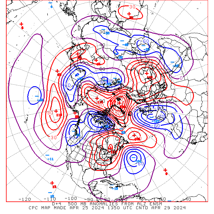
The atmospheric factors favoring cool, dry weather over the next 10 days are the same ones that have dominated much of the weather so far this month: that is, continued blocking over southeastern Canada tends to lock anomalously cold air over the eastern US, due to strong northwesterly flow aloft, and to suppress the storm track well to the south of its usual position. This displaced storm track is the primary reason why this March has been so extraordinarily dry -- only 0.04" of precipitation has been recorded at DCA so far this month.
 Indeed, the US Drought Monitor (at right) shows that the entire region is experiencing "abnormally dry" conditions, while much of southwestern Virginia and western North Carolina is experiencing "moderate drought" conditions. It appears that through at least the first week of April, drier than normal conditions will persist. How about thereafter? While it is difficult to assess with much confidence, climate modeling suggests that if our current weak La Nina conditions persist, continued drier than normal conditions may linger over the Mid-Atlantic thoughout the spring.
The next 5 days (Mar 23-27)
Forecast highs/lows: 52/35 (normal = 59/40)
Forecast precip: below normal
The following 5 days (Mar 28 - Apr 1)
Forecast highs/lows: 55/38 (normal = 61/41)
Forecast precip: below normal
Comments are closed for this archived entry | Link |  Email this post
Email this post
