

Thursday, March 30, 2006
10-Day Outlook: Warm & Dry...
Josh Larson @ 1:00 AM
Today's Forecast
Today's forecast calls for partly to mostly sunny skies with above-normal temperatures, which will reach, or eclipse, the 70 degree mark in most locations. Mostly clear and mild overnight, with lows in the mid to upper 40s.

Pictured above: A cherry blossom sunset at the Jefferson Monument on Wednesday; by Capitalweather.com photographer, Kevin Ambrose.
Pattern Overview
After ten days of below normal temperatures and exceptionally dry weather, for the next ten days we'll hold onto continued dryness, but we'll see an extended period of above-normal temperatures develop. Unlike much of the past ten days, when the flow of air aloft was out of the Northwest, in general, we can expect a more southerly or southwesterly flow over the next five days, which will bring temperatures some 6-8 degrees above normal for the period today through next Monday.
Thereafter, there are some model indications that a weak trough may once again build into the Great Lakes or Northeast, moderating temperatures just a bit, though they'll likely still remain at above normal levels. Thus, for the period next Tuesday through the Saturday, we can expect temperatures some 3-5 degrees above normal.
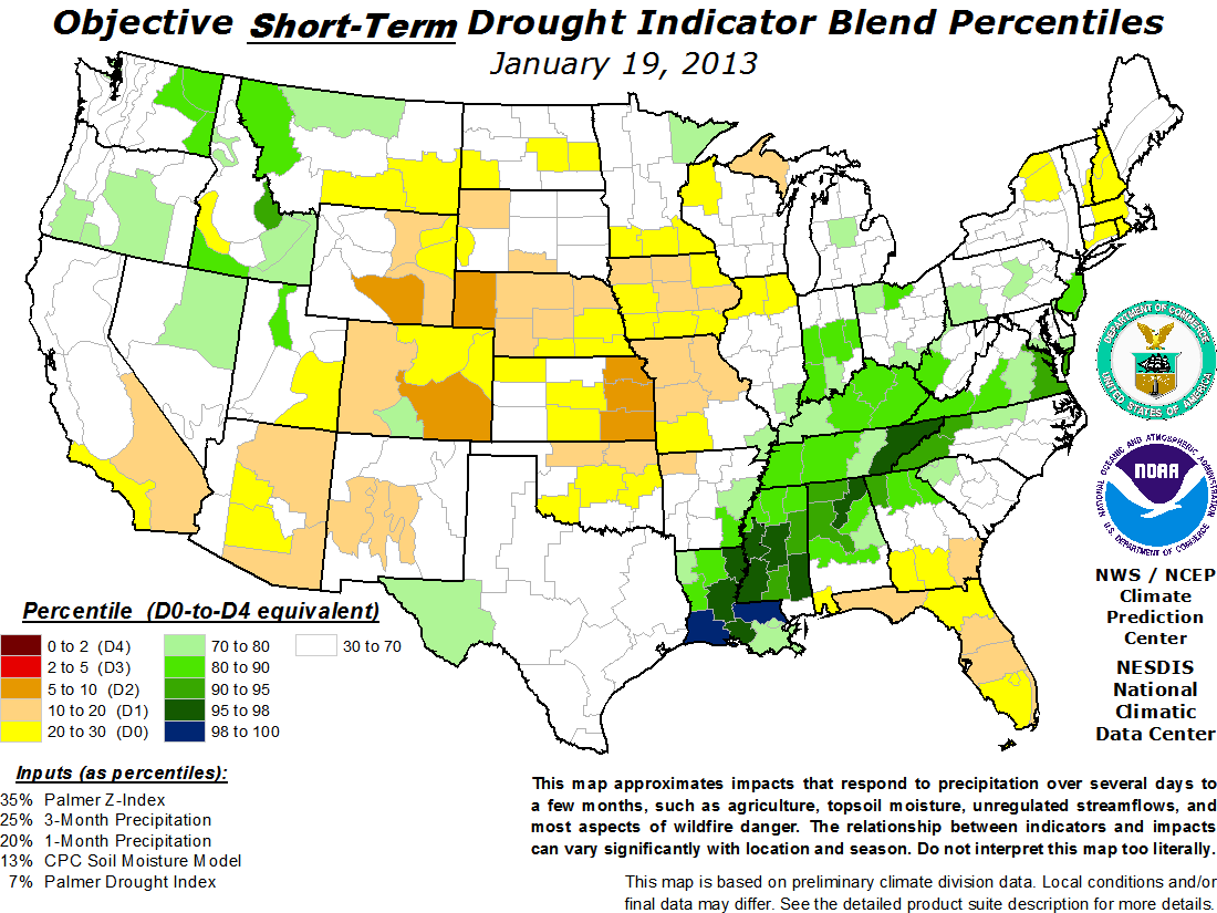 As for our developing drought, the US Drought Monitor currently places most of our area in the "abnormally dry" category; however, in a much more foreboding sign, their experimental short-term drought indicator forecast(at right) suggests the potential for "severe" (D3) to "extreme" (D4) drought conditions to develop over the coming months.
 While the GFS forecast model predicts nearly .90" of rain to fall over the next 7 days, at least the four most recent precipitation "events" have brought significantly less precipitation to our area than was forecast by the models -- on the order of 0-25% of the forecast amount. Thus, it is said that drought feeds drought and I'm afraid our abnormally dry conditions will only continue to get worse over the coming weeks.
The next 5 days (Mar 30 - Apr 3)
Forecast highs/lows: 69/48 (normal = 61/42)
Forecast precip: much below normal
The following 5 days (Apr 4-8)
Forecast highs/lows: 66/48 (normal = 63/43)
Forecast precip: much below normal
Comments are closed for this archived entry | Link |  Email this post
Email this post
